http://archone.tamu.edu/epsru/
Principle Invesigator: Dr. Sam Brody of Texas A&M’s College of Architecture within the Hazard Reduction and Recovery center
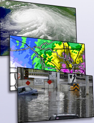
Funded by the Nation Oceanographic and Atmospheric Administration's Sea Grant program, this project will develop a coastal communities planning atlas to help local jurisdictions in Texas understand the implications of development decisions and plan appropriately for the future. It will provide an easily accessible, graphically represented, interactive database on environmental, hazard, and land use related issues for local communities. Specifically, the project will create an Internet-based spatial decision support system that will allow users to identify and visualize critical hotspots related to environmental degradation, natural hazard risks, and significant changes in land use patterns. In additional, users will be able to query data and create custom maps based on multiple development scenarios. Communities will be able to use this educational tool to guide future decisions on growth in a sustainable manner such that the need for economic development is balanced with priorities associated with environmental protection and human health, safety, and welfare. The system will also help address important research questions related to where future growth will occur in the Texas coastal zone, the impacts of this growth, and the usefulness of WebGIS in facilitating sustainable planning.
Co-Principal Investigators: Wunneburger, Douglas ; Peacock, Walt er; Ndubisi, Forster , Martin, June
Funding Organization: NOAA, Sea Grant